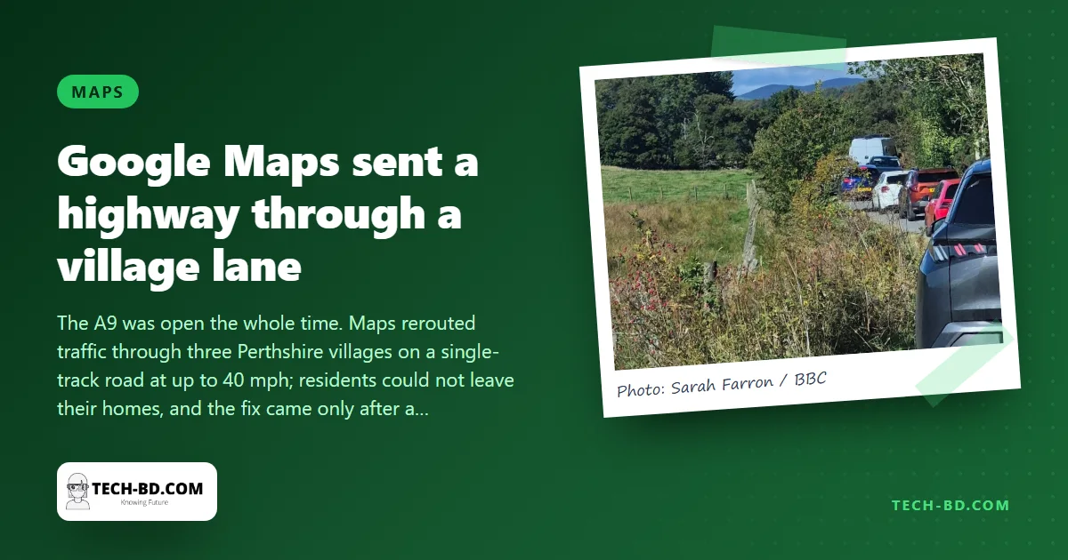
For three days last week, Google Maps told drivers on the A9, the main road through the Scottish Highlands, that the stretch between Dunkeld and Pitlochry was closed, and offered an "alternate route". The road was open the whole time. The alternative was the U163, a single-track lane with no passing places that winds through the Perthshire villages of Ballinluig, Tulliemet and Guay, and down it, from Friday until Monday, went campervans, a full-size coach, cars towing boats, and everyone else who trusted their phone.
"Nobody could pass, everyone had to reverse"
"People were just doing as Google said but the excessive speed was unbelievable," Joanne Boyne, who lives in Guay, told BBC Scotland News. She saw vehicles doing 40 mph on a road built for tractors, with overgrown hedges hiding the bends. "Traffic was going in both directions, so when cars came to a section where nobody could pass, everyone had to reverse."
Her parents, who live on the lane three miles away, did not leave their house from Friday to Monday, not even for a walk, because the road outside was too dangerous. A ten-minute drive to check on them took 45. The bumper-to-bumper traffic worried the villages most for one reason: an ambulance or fire engine could not have got through.
How it was fixed
Transport Scotland, the roads agency, posted on X on Saturday that Maps was falsely reporting the A9 closed. That did not fix it. What did, according to Laura Hansler of the A9 Dual Action campaign group, was a member of the group getting through to the Google Maps team in London. Google has been contacted for comment. Ms Hansler said Maps had earlier shown wrong speed limits on the same road, and that when drivers see a diversion on the A9 "they automatically presume it is because something has happened". Transport Scotland told her it has no direct feed to Google or any other sat-nav provider, which is the heart of the problem: the agency that knows whether a road is open has no wire into the map that millions of people obey.
Why maps go wrong
Google Maps decides a road is closed from a mix of sources: official feeds where they exist, reports from drivers who tap "road closed" in the app, and its own inference from phones that stop moving along a stretch. A police stop, a slow queue or a few mistaken reports can tip that inference into a "closure", and once Maps believes it, every phone is rerouted the same way, which sends a whole highway's traffic down whatever is the shortest line on the map, regardless of whether a coach fits.
The Dhaka version
Every driver in Bangladesh has been sent by Maps into a gali that turns out to end at a canal, or off the Dhaka–Mymensingh highway onto a village road at Bhaluka because the app decided the highway was jammed. Here there is no Transport Scotland even to post on X; the RHD, BRTA and city corporations have no data feed into Maps at all, and its picture of Bangladeshi roads rests almost entirely on users' phones. Three habits help: keep the Traffic layer on so you can see why it is rerouting; when a diversion leaves a highway for a road you do not know, check the road-closed claim against your own eyes before turning; and when it is wrong, hold the route line and tap Report a problem. The villages of Perthshire got their road back because one person did the last of those.